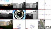
PAVIN workspace
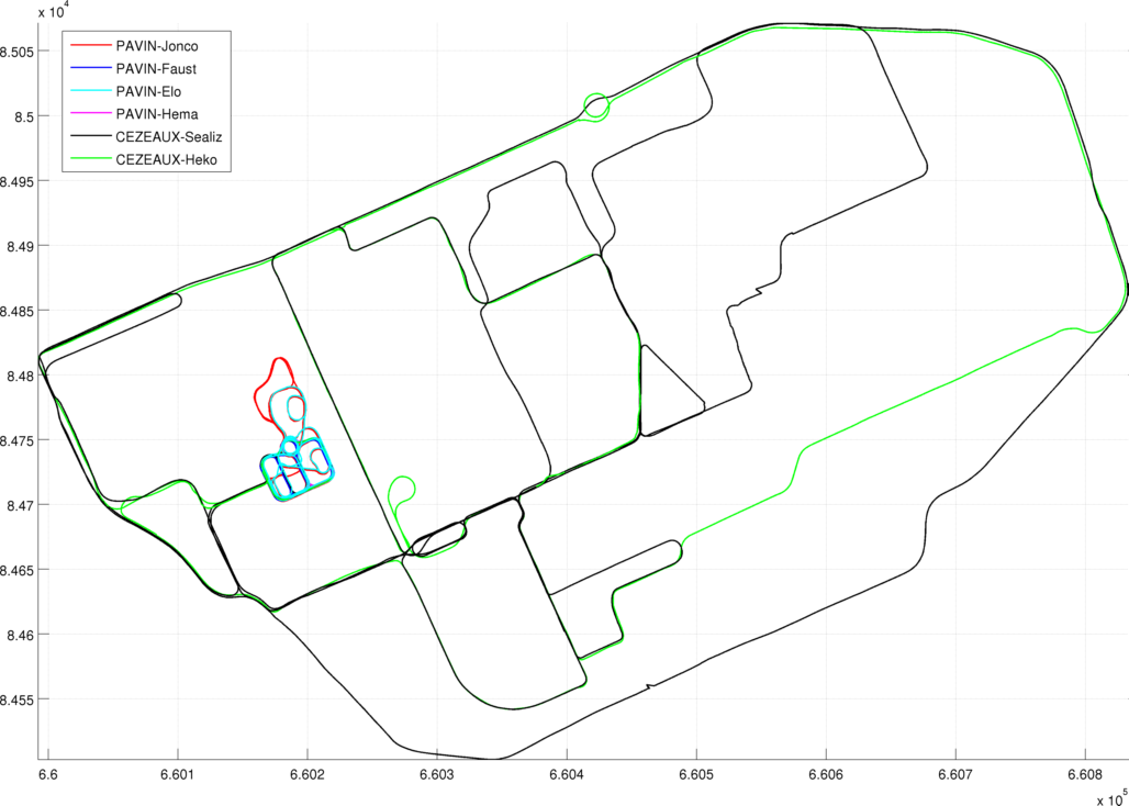
PAVIN is an experimental site, which is located on the campus "Les Cezeaux" of the Blaise Pascal University in Clermont-Ferrand. PAVIN is composed of two areas, an urban area and an open area, for a total ground surface of approximately 5.000m². The total street length is 350m with 230m of additionnal ground track. The urban area is composed of scaled street with several road junction type, road markings and functional traffic lights. Painted walls, buildings vegetation and street furnitures are set to bring to a whole scene. In addition, the whole area is covered by a DGPS base station.
Sequences
The datasets of PAVIN place are the following:- PAVIN-Elo A high number of PAVIN's roads are travelled multiple times. Accidentally, the catadioptric camera moved after this first sequence.
- PAVIN-Jonco All roads, including the inclined one, has been travlled multiple times in the same or in opposite directions.
- PAVIN-Hema This sequence contains data acquired with all sensors with a VIPALAB driven at different velocities (between 0 and 6m/s).
- PAVIN-Faust 9 simple loops from 85 m-long to 160 m-long are present in this sequence.
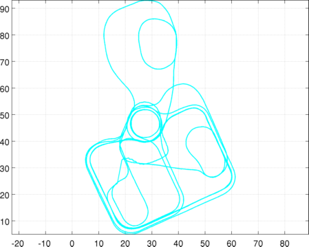
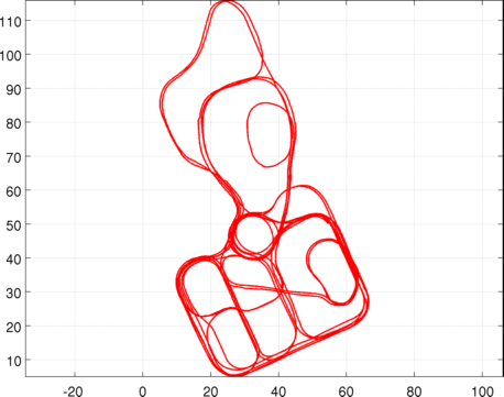
Trajectory from DGPS
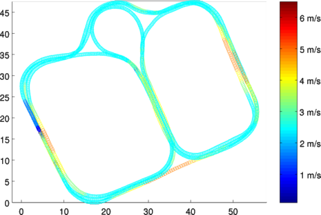
Trajectory from DGPS
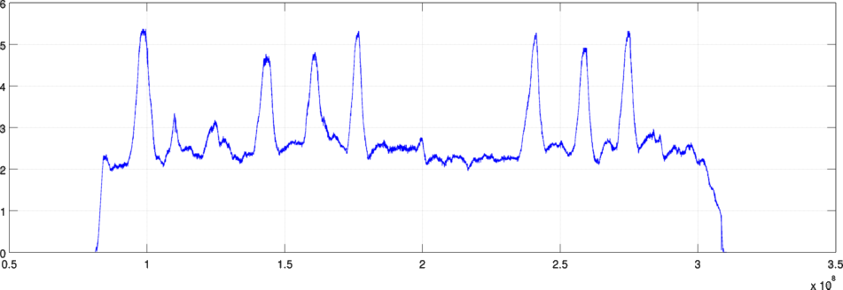
Velocity(m/s) in function of time
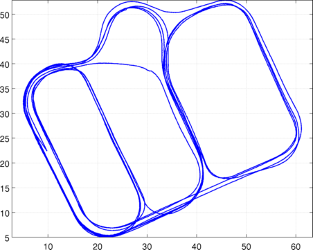
Summary
| Sequence's name | Length | Duration | Memory size |
|---|---|---|---|
| PAVIN-Jonco | 2,3 km | 18 min | 95.4 Go |
| PAVIN-Hema | 0,6 km | 5 min | 26.8 Go |
| PAVIN-Faust | 1,3 km | 10 min | 54.3 Go |
| PAVIN-Elo | 1,2 km | 12 min | 64.6 Go |
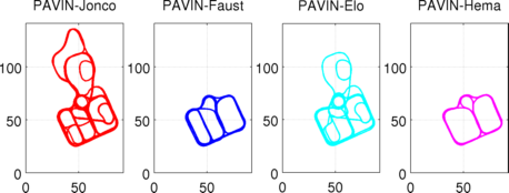
All sequences combined (PAVIN+CEZEAUX)
