Soft tools
Different soft tools have been designed to use the data of IPDS.Main tool: IPSDCodes
The library: IPDSlib
This library contains the main elements required to read the data of a given sequence, organize them and "synchronised" them (i.e. find the data of a sensor that has been acquired just before or after another data). It also contains the classes for frame transformation, image reprojection, omnidirectional image unwarping. This library is based on the classical libraries, excepted Qt4 used for display purposes.The "complicated" organisation of the data (one folder by sensor, with complex names) is abstracted through the use of a configuration table that resume all the parameters for all the sensors. Among others, it allows to access the data of a sensor using directly its alias (for instance "f-l-cam") and to obtain the file where timestamps are saved. Typically, the function
From the configuration table, the classes containing the data specific to each sensor can be generated in a C++ header (
The library contains also:
- Geometry tools: classes for coordinates transformation (
HomogeneousTransformation /HomogeneousVector ), image feature projection (Camera_PinholeModel /Camera_UnifiedModel ), lidar impacts reading (LaserTool ). - Viewer tools: the Qt class
ImageViewer_Qt is used to display an image
Applications
Other applications that use this library are provided:- Geometry
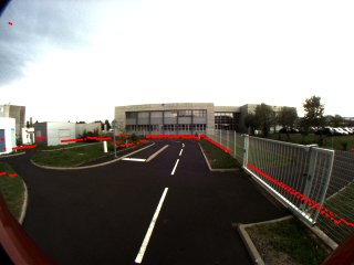
coordinatesTransformation presents a sample to get the transformation between the frames attached to two sensors.impactsReprojection reads a file from the range-sensor and reproject impatcs onto images (which are saved)
- Viewers
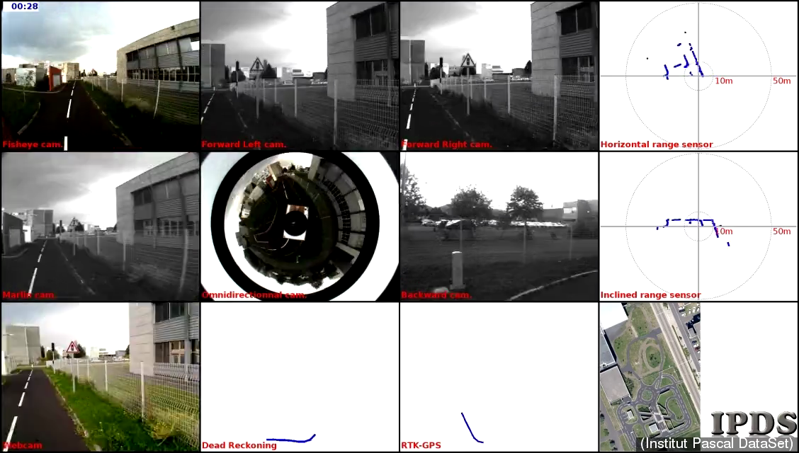
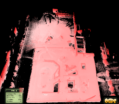
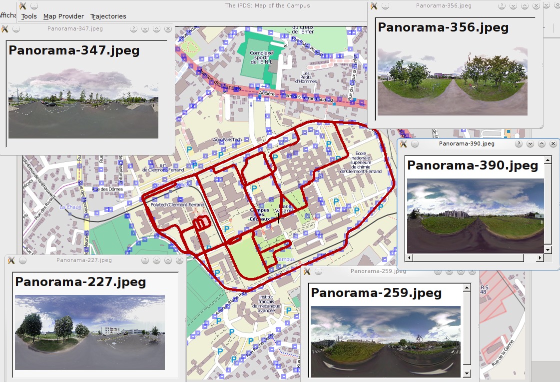
IPDSViewer reads the file from one or multiple sensors, synchronised them and display it. Time can also been displayed as well as sensors' names. The generated images can be saved onto a folder [Qt4 is required]IPDSViewer3D reads a 3D point cloud and display it [Ogre3D is required]CezeauxMapViewer displays a map of the CEZEAUX (OpenStreetMap of Yahoo!Map) and potentially overlays features linked to panoramas and GPS trajectories [Qt4 is required; mainly based on the QMapControl project ]
- Download the IPSDCodes archive
- Extract it in a folder and open a terminal
- $mkdir build
- $cd build
- $make
- Executables are in the folder /build/bin
- [$make html-doc]
HOW-TO
IPSDCodes can be build using CMake.Other applications
StreetViewImagesDownloader
This application downloads and rebuild all the Google© Street view panoramas listed in the file GeoreferencedImagesList.txt.Sample:
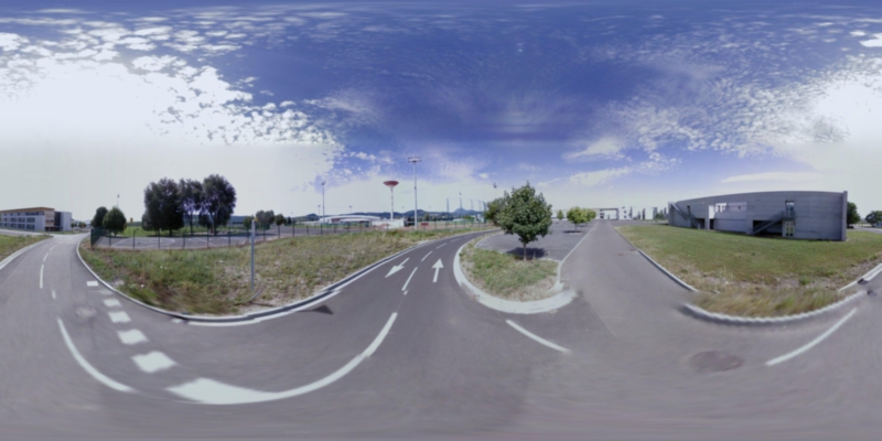
Panorama-254.jpeg 45.7593 3.10967 89D6hjWjgWH2hcvH6h5nmw 3 spherical 270.26 147.57 2.04
StreetViewImagesDownloader use Qt4 library.
StreetViewImagesDownloader
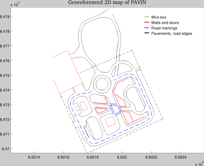
This Matlab code allows to display the 2D map of PAVIN